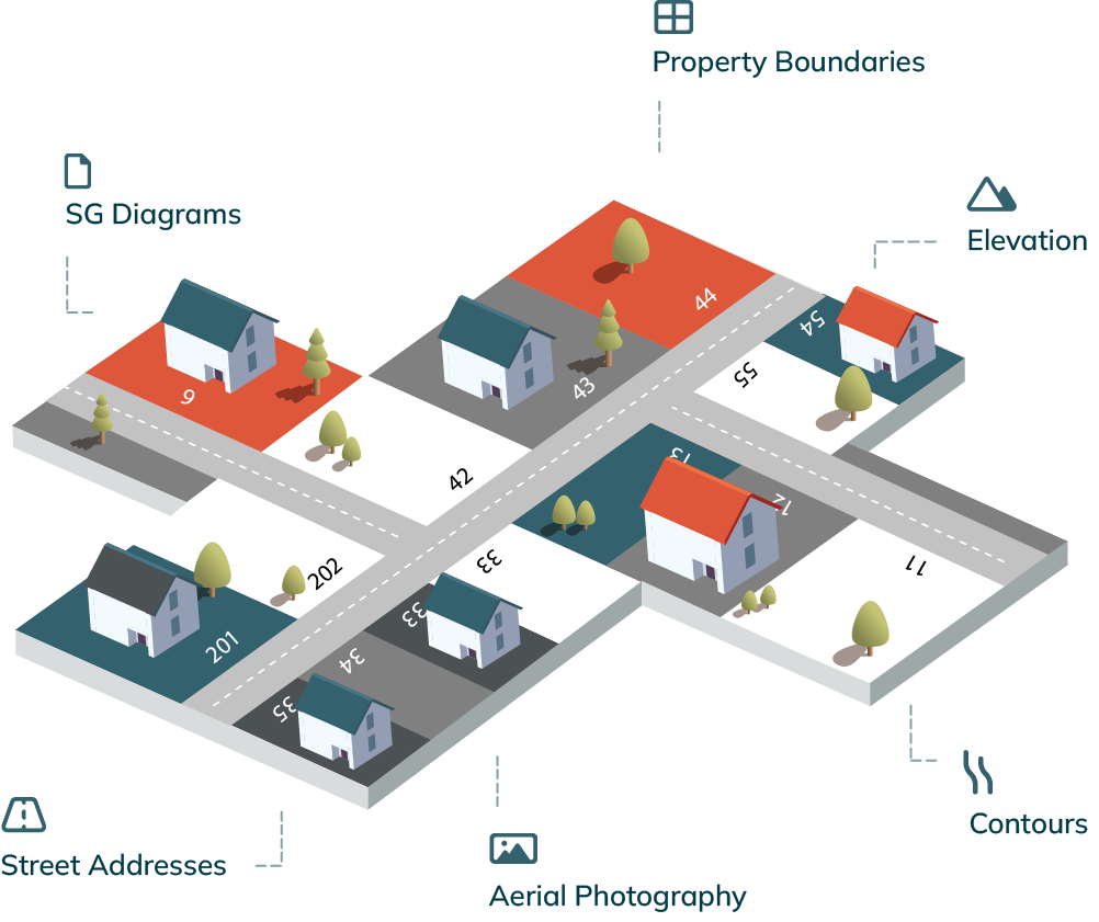
PropertyMap™
Save yourself the hassle of searching for property information in multiple places.
Get all the property information you need in a single place - an always up-to-date web map filled with South African property data to free up hours of your time.
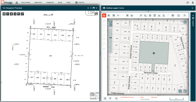
Access the latest SG documents, instantly
View the official survey documents for any property in South Africa. Opt to download documents in batches or to view SG diagrams against the corresponding aerial imagery.
Is it Church Street or Kerkstraat... and how about that new corner property?
Need a source of standardised, precision-geocoded and meticulously researched addresses for South Africa? We’ve created our National Address Database (NAD) for just that purpose.
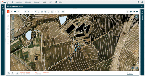
Drawing up building plans? Find the contours and elevation data for the erf in seconds
Access the topography and contours for the property you’re developing. View it against a backdrop of aerial imagery or extract the data to analyse in your own system.
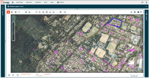
The most up-to-date cadastral data straight from the SG office
No stand number? Simply use a street address to search for everything from beacons, boundaries and registration status to suburbs, servitudes and sectional title schemes.
Get new insights as you view property data within its surrounding context
View property data against the latest aerial imagery from the NGI - the surest way to get location-based insights and discover new opportunities.
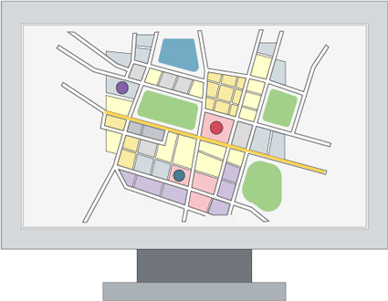
Add even more to the richness of your data visualisation
Want to analyse property information together with other data? Our map-based platform has over 800+ data layers - from geology to demographic data - to choose from.
Monthly subscription
Lite
- Search addresses
- View aerial imagery
- Print A4 maps
- Export 100 objects
Professional
Everything in Lite, plus:
- Erf numbers
- SG Diagrams and General Plans
- A0, full colour printing
- Export 10 000 features p/m
Get more value...
Academic
Are you a full-time academic or student? Let us know and you’ll enjoy free access to PropertyMap Professional.
Contact UsGovernment
We offer exclusive features and data specifically for local government. Click to learn more.
Learn MoreEnterprise
For larger projects, custom workflows and collaborative teams, get in touch and we’ll discuss your needs.
Contact Us