CityManager™
Close the gaps between city departments and systems.
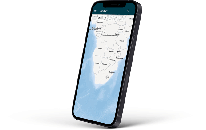
Created for municipal decision-makers with no GIS expertise, our map-based municipal management information system makes it easy to see the full picture.
See it all
in context
Uncover key insights and opportunities as you analyse municipal data together instead of in separate data silos.
No GIS expertise needed
Empower everyone - from data capturers to the CFO - to view and manage their own data within its spatial context.
Collaborate
flexibly
Share data across departments while staying in control of who sees and manages specific data or geographic regions.
A seamless experience
CityManager’s dynamic map integrates seamlessly with municipal systems to automatically update data in real-time.
Millions in municipal revenue are lost every year
Inconsistent data, undiscovered opportunities, arrear debt and meter tampering are just some of the reasons. But do you know enough to take action?
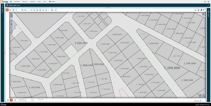
When you view municipal financial data the intelligent way - within the real-world context of a map - it’s easy to understand not only why you are losing money but also where to collect more revenue.
Why CityManager?
municipalities currently enhancing revenue with CityManager
property registers already maintained by 1map
data layers available to municipal users
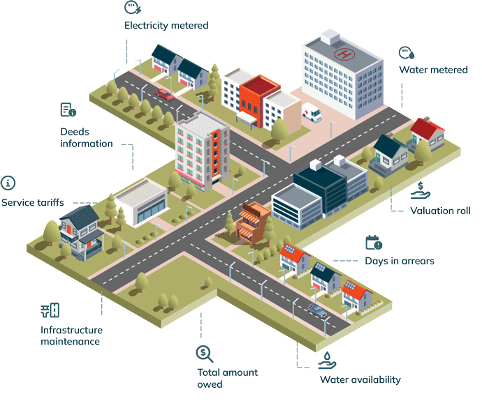
Systems, departments, and all the data your city needs to
make fast and effective decisions, together in one place.
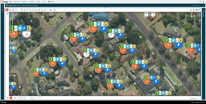
CONSUMPTION AND SERVICE AUDIT
Ensure complete billing, always
See which services are provided and billed for each property - whether metered or not. Compare service tariffs and consumption data with aerial footage and valuation data to resolve discrepancies. Billing data is updated in real-time as payments are made.
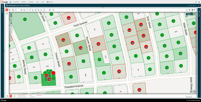
ACCOUNTS AND DEEDS INFORMATION
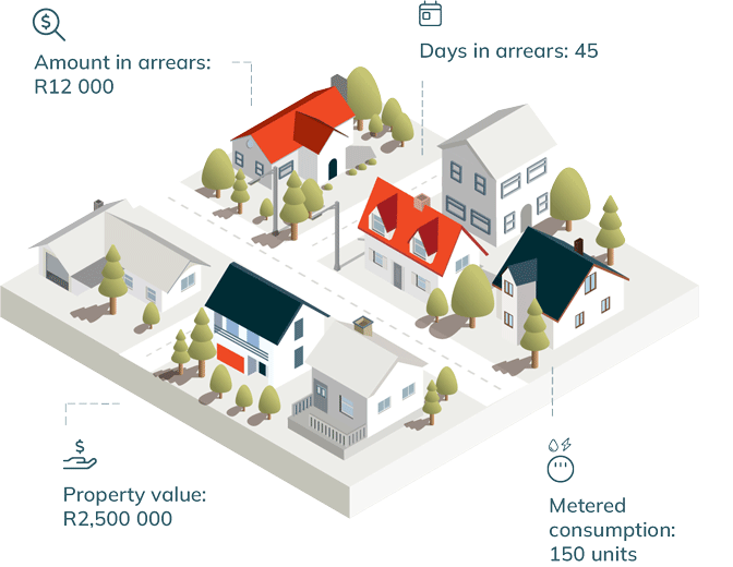
The debtors follow-up process, simplified
See which properties are in arrears - for how long and by which amount - together with weekly updated deeds information. All that’s left to do is to follow up with the owner.
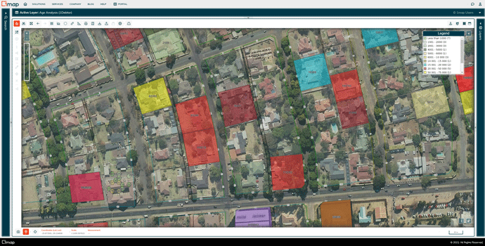
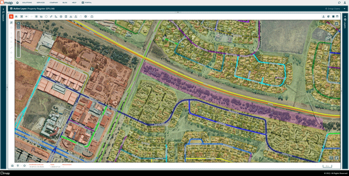
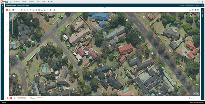
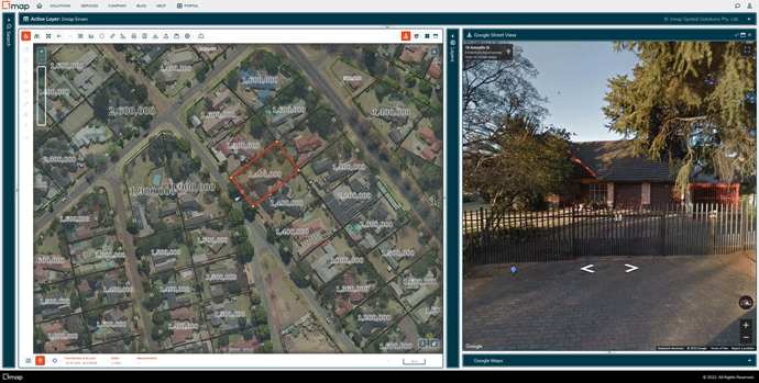
MUNICIPAL PROPERTY DATA
No stress about maintaining your municipality’s property register—we do it for you
We host and maintain the property register for all 230+ municipalities nationwide. This means you’ll be viewing the most accurate and up-to-date survey and registration data for every property in your municipality - no duplications.
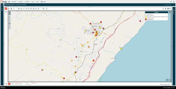
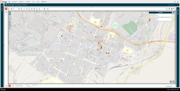
INFRASTRUCTURE ASSET MANAGEMENT
See and track the condition of infrastructure assets so you can resolve issues ahead of time
Enjoy a bird’s-eye view of the condition of your municipality’s infrastructure assets, intuitively colour-coded to show where you need to focus your attention.
VALUATION RECONCILIATION
Be assured of Circular 93 compliance
Upload your billing and valuation data and compare it with aerial footage to identify and resolve discrepancies fast. Generate your fully-compliant Circular 93 report in CityManager.
INTEGRATED MOBILE APP
Remote fieldwork functionality at your fingertips
Empower fieldworkers to capture data and photographs on-the-go with the mobile app - even in regions with no internet. Access and analyse this information online wherever you are.